

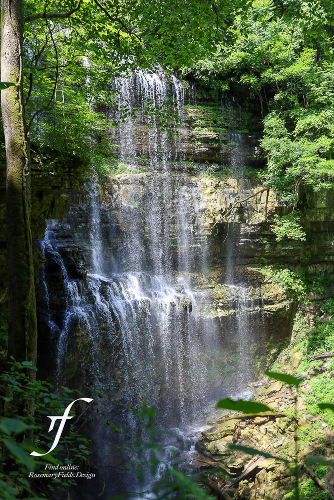
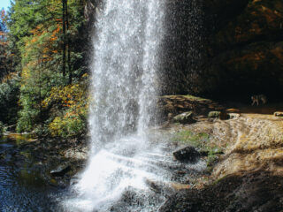
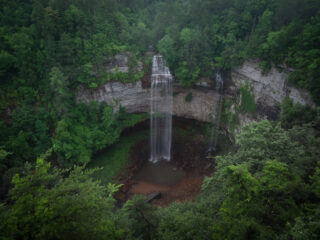
The Toughest Hike You Will Find in Tennessee: 9 Mile Hike to Virgin Falls Waterfall and Others in Sparta, Tennessee
Virgin Falls State Natural Area
Address: 2080 Scotts Gulf Road, Sparta, Tennessee
Coordinates: 35.85407, -85.28220
Photographer: Rosemary Fields
Things to Know:
- Plan and pack accordingly. This is a long and strenuous hike so start early and pack plenty of food and water. Give yourself at least 4 hours to complete this trail.
- There is signage, a gravel parking lot, and a staff station at the entrance.
- Welch’s Point is also in this area. It is worth seeing too!
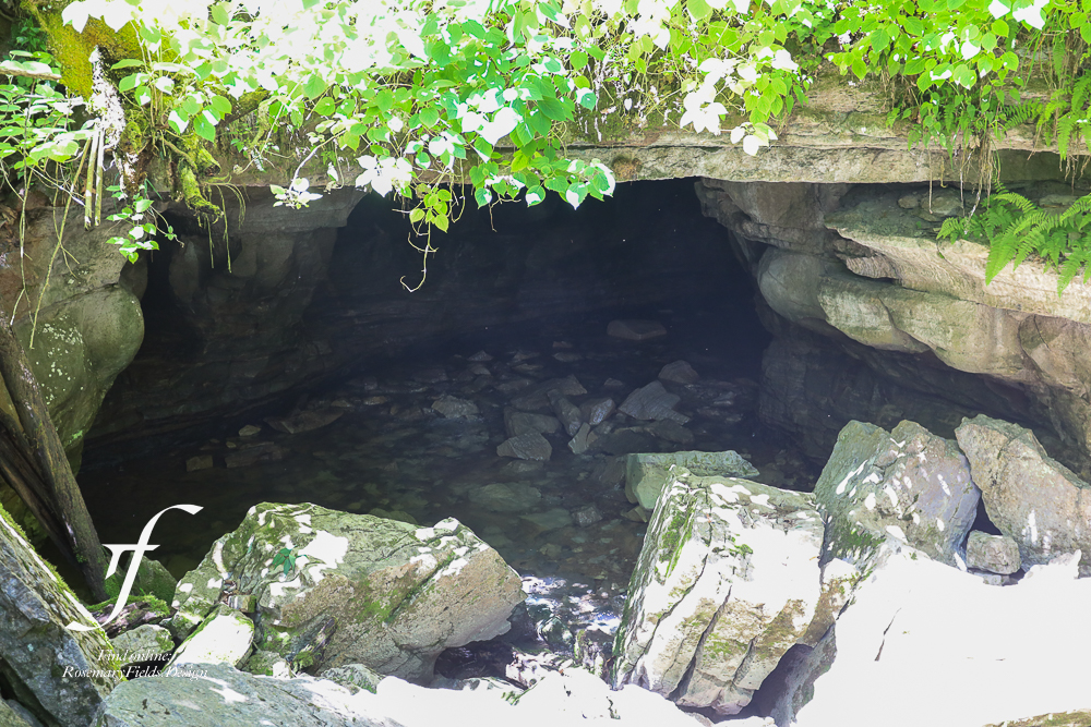
- From May – August, the caves are closed to help bat populations recover from the white nose syndrome.
- The trail is open year-round. Dogs are welcome but must be on a leash.
- There are camp sites at Cable Crossing, Martha’s Pretty Point, Virgin Falls, and Caney Fork if you’d like to make this into an overnight adventure.
Waterfalls
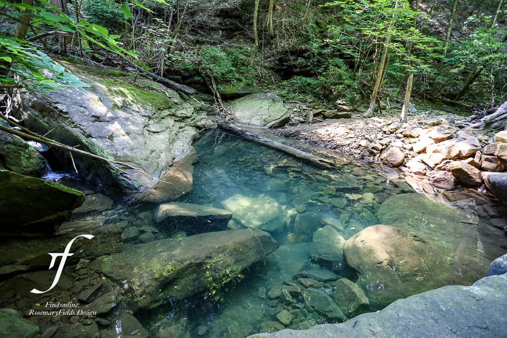
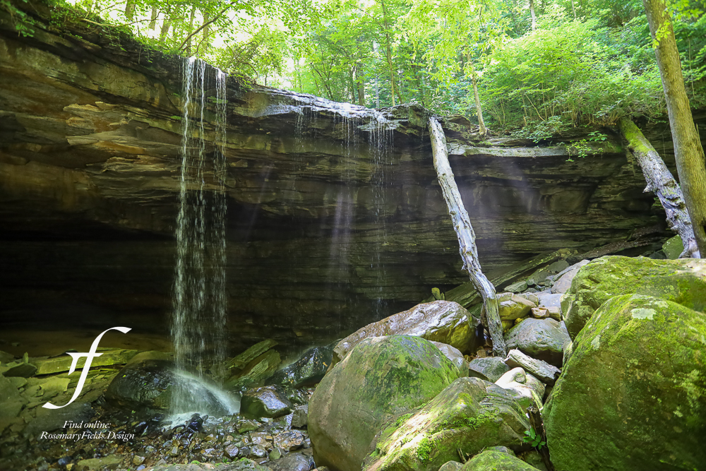
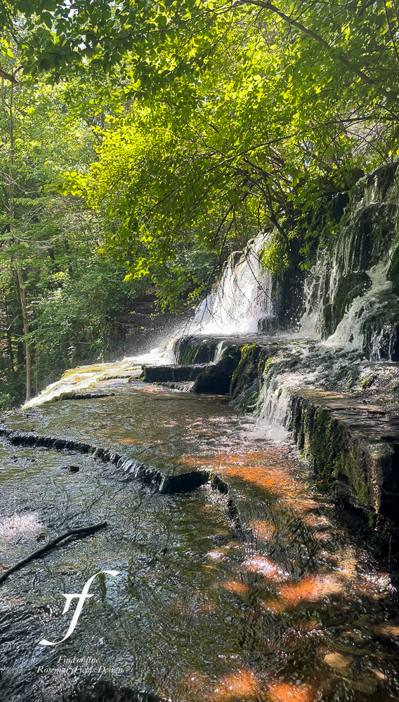
In addition to Virgin Falls, there are many other waterfalls and caves within this area including Big Laurel Falls, Sheep Cave Falls, and Big Branch Falls. At times, the water level may be down and no water present at the smaller falls.
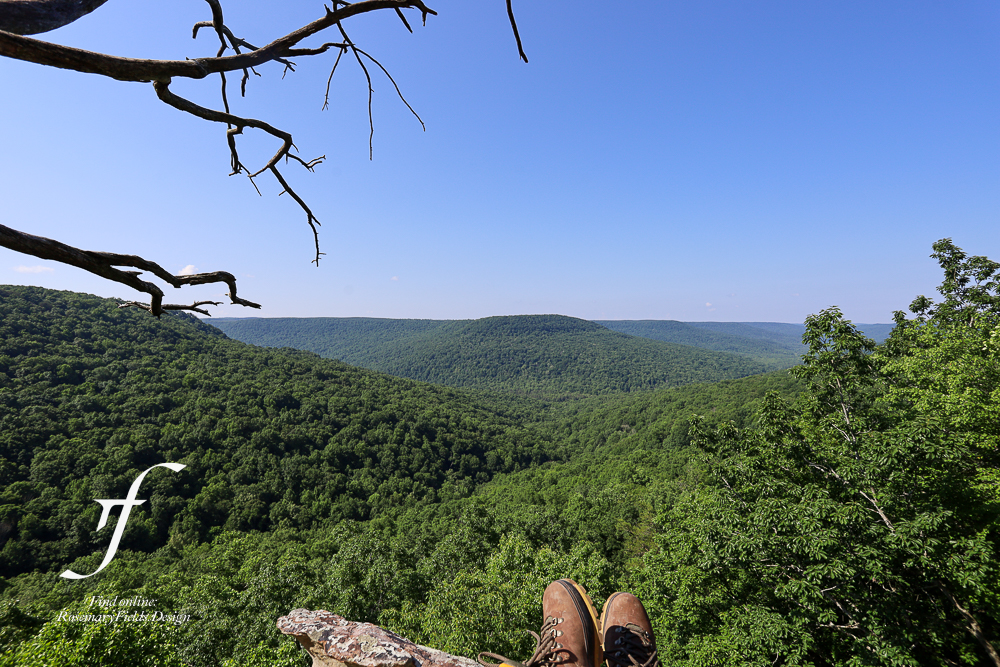
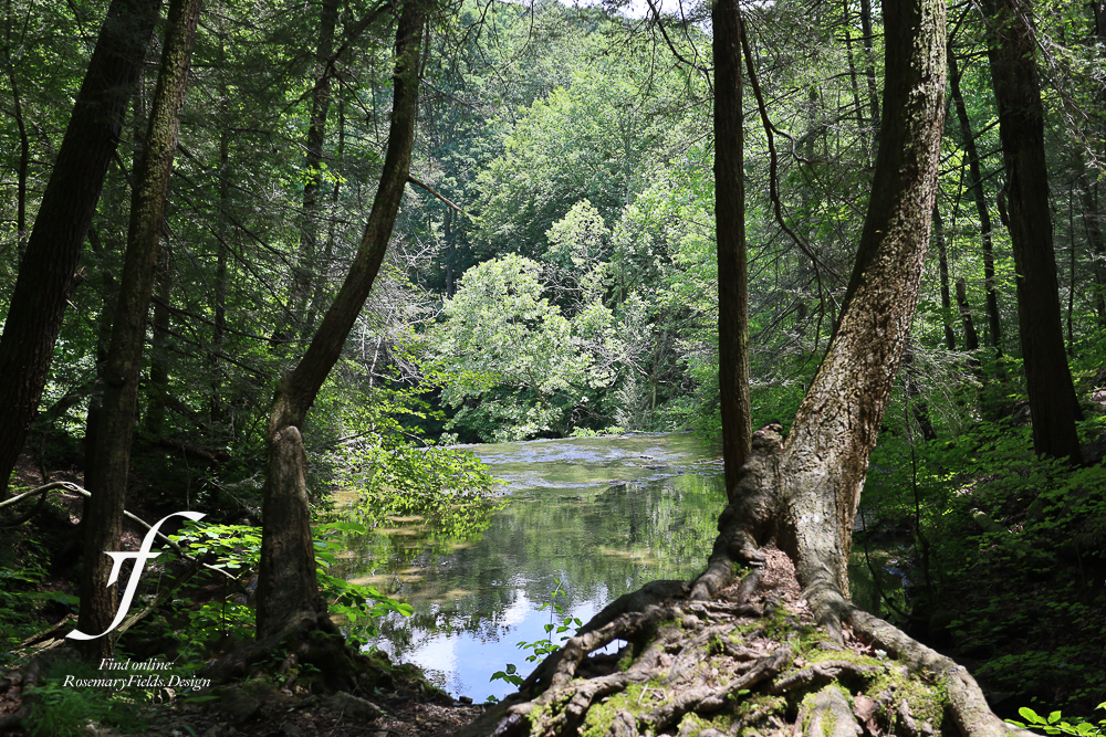
Martha’s Pretty Point
There is a scenic lookout point within the Virgin Falls State Nautral Area – Martha’s Pretty Point. This place looks very similar to Welch’s Point (which is also within the Virgin Falls State Natural Area). At the start of the main trail, you can take a right and get to Martha’s Pretty Point, a very scenic bluff view. Don’t worry – there is signage directing you throughout. It does loop back into the main trail so consider it a pit stop.
Looking for more amazing places to explore?

Leave a Reply